DANG VALLEY
Dang
district is located in the Mid-Western Region of Nepal, which occupies
the area of 2,955 km2. Headquarter of Dang district is Ghorahi. The
major cities of Dang district are Ghorahi, Thulsipur, and lamahi. It has
the population of 552,583 (2011). It has two municipalities Ghorahi
municipality and Tulsipur municipality.
Dang valley is the largest valley of Asia,
this district is also known as inner terai. To the south it touches the
border to India and bordering to the north are Pyuthan, Rolpa and
salyan. It has two mountain range churaya and Mahabharat Mountain rang.
The largest river of Dang district is Rapti river and Babi river.
Climate of Dang district is tropical.
Mahendra highway crosses the Dang
district from bhalubang bazaar .Another important road which joins
Lamahi- Ghorahi and Tulsipur which are the major cities of dang
districts. Dudhwas to koilabass bazaar road which touches the border of
India helps people to bring goods from India.
Dang valley has poorer soil and more seasonal flow and heather climate which is suitable for resident.
Dang district has majority of people
from Tharu ethnics, Bahuns and Chettri are came from the southern
mountains. Nepali language is the main language.
Historical places in dang district are
ambekaysori temple, Dharpani Temple and Chameri cave. Beautiful places
to visit are Sitalpur, Ganespur park, Gumba etc.
The main crops produces in dang district
are paddy, wheat, maze etc. cash crops are sugarcane, mustard. It is
also good place for the animal husbandry like fish, chicken, goat etc.
- See more at: http://topnepal.com/nepal/dang#sthash.ec22LNGs.dpuf
Dang
district is located in the Mid-Western Region of Nepal, which occupies
the area of 2,955 km2. Headquarter of Dang district is Ghorahi. The
major cities of Dang district are Ghorahi, Thulsipur, and lamahi. It has
the population of 552,583 (2011). It has two municipalities Ghorahi
municipality and Tulsipur municipality.Dang valley is the
largest valley of Asia, this district is also known as inner terai. To
the south it touches the border to India and bordering to the north are
Pyuthan, Rolpa and salyan. It has two mountain range churaya and
Mahabharat Mountain rang. The largest river of Dang district is Rapti
river and Babi river. Climate of Dang district is tropical.Mahendra
highway crosses the Dang district from bhalubang bazaar .Another
important road which joins Lamahi- Ghorahi and Tulsipur which are the
major cities of dang districts. Dudhwas to koilabass bazaar road which
touches the border of India helps people to bring goods from India.Dang valley has poorer soil and more seasonal flow and heather climate which is suitable for resident.Dang
district has majority of people from Tharu ethnics, Bahuns and Chettri
are came from the southern mountains. Nepali language is the main
language.Historical places in dang district are ambekaysori
temple, Dharpani Temple and Chameri cave. Beautiful places to visit are
Sitalpur, Ganespur park, Gumba etc The main crops produces in
dang district are paddy, wheat, maze etc. cash crops are sugarcane,
mustard. It is also good place for the animal husbandry like fish,
chicken, goat etc.
ECO TOUR ACTIVITIES
Birds Watching
Village Walk
Pedestrian Walk
Valley Hill Station
Off Road Motor Biking
Camping
Flora and Fauna
Forest Walk
Fishing
Swimming
Boating
Accommodation Type
High way Hotels,
Backpackers Hotel,
Camping,
Home Stay
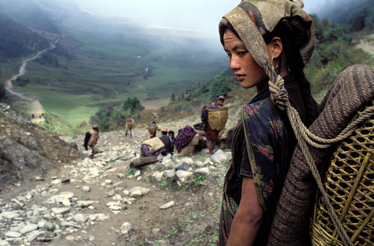
What you discover about the valley? Before the research for this page i was really unknown about this place. I just started to explore about the valleys recently it has been just a few years. The valley has its own identity on its natural diversity where you can found more species of flora and fauna, Bugs, Birds, reptiles, Mammals. if you enjoy nature than you will find something interesting. The View of valleys and the Hills is awesome. The village on the plain lands and the high hills will make you feel a two different climate, tradition, culture or even language. on the high hills you will find people who enjoy hill zone life style and same goes with people in plain land with a different lifestyle.People of the valley are friendly you will encounter with different attitude and behaviour. The plain land is enriched with tharu community and their beautiful life.
A View From Devicoat of Deukhuri Valley.
 |
| OWO! That's cool. |
 |
| A view From Between. |
 |
Hill View From Rupacoat those high hills are a part of hilly zones. In every hills you will find some villages or some houses.
|
 |
| Hill View From Rupacoat. |
 |
| A view of Devicoat from Rupacoat and a narrow way from crest of hills. |
 |
| A Hill View |
 |
| A Hill View |
 |
| A Hill View |
 |
| A Hill View |
 |
| A View of Rupacoat Village. most of the village are spread like this in every part of these hills people cultivate maize, mustard, wheat and every families has their own animals for milk or meat. they keep animals like Cow, Buffalo, Bulls, Goats, and local species of Chickens. |
 |
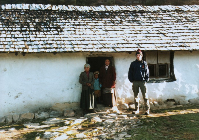
| A Typical House at Rupacoat. |
How to reach there?
here is a map about some basic things that you must know about this place.